
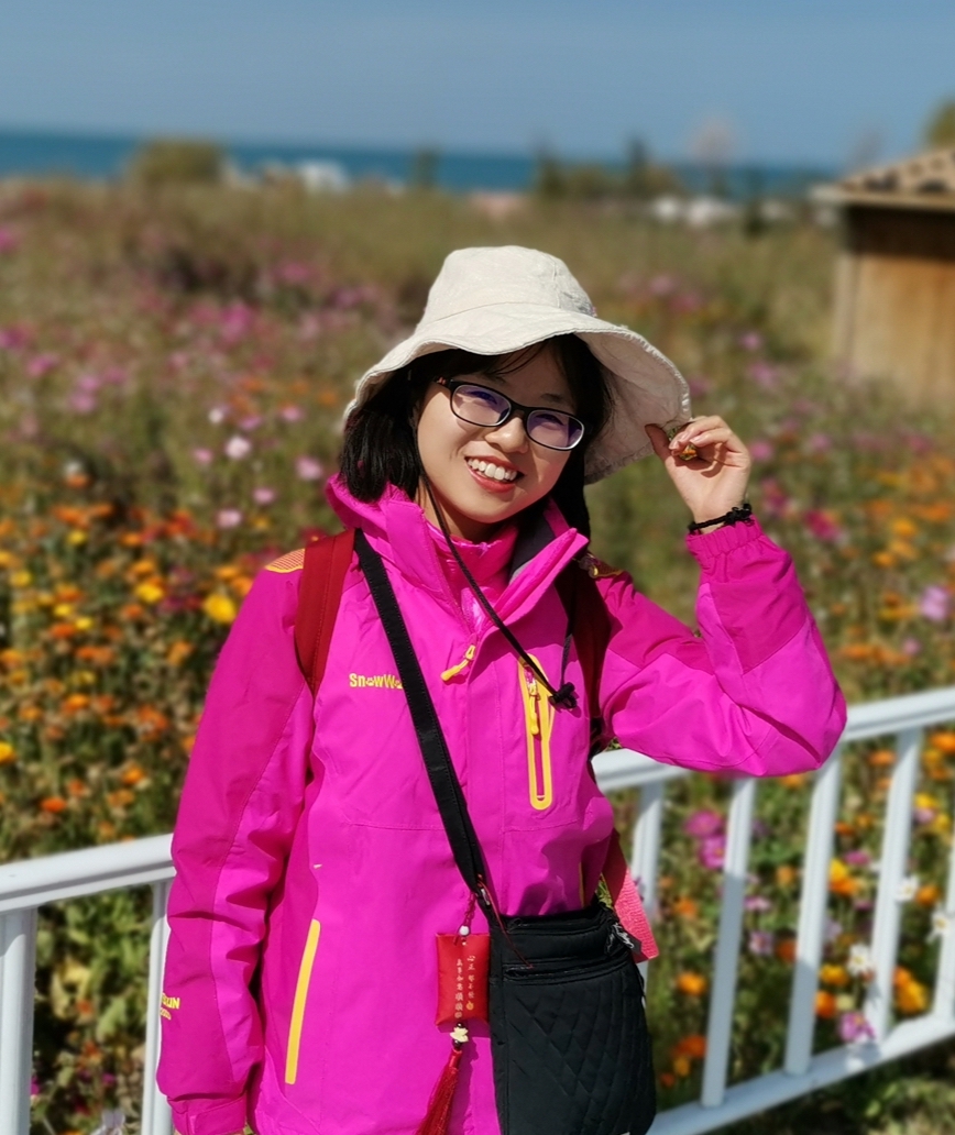
Zhang Huan
About
Completed an MSc in June 2022. The thesis was entitled “Retrieval of River Ice Thickness in High-Altitude Mountain Regions Using Sentinel-1 Data”.
Uses Sentinel-1 dual-polarisation C-band synthetic aperture radar to monitor river ice thickness on the Tibetan Plateau, and evaluates the accuracy of LiDAR elevation data in high-altitude mountains. Also co-authored a book chapter on river ice remote sensing under climate change (2026).
Publications and books
Li, H., Li, H., Zhang, H. and Pang, X. (2026) Remote sensing of river ice under climate change. In: Kelly, R. and Ellias, S. (eds.) Comprehensive Cryospheric Science and Environmental Change. Vol. 3, pp. 298-334. UK: Elsevier. DOI
Zhang Huan, Li Hongyi*, Li Haojie. (2022). Monitoring the Ice Thickness in High-Order Rivers on the Tibetan Plateau with Dual-Polarized C-Band Synthetic Aperture Radar. Remote Sensing, 14(11), 2591. DOI
Zhang Huan, Li Hongyi*, Li Haojie, Che Tao. (2021). Accuracy Assessment of Remotely Sensed Elevation Data in Alpine Mountains Using LiDAR [in Chinese]. Remote Sensing Technology and Application, 36(6), 1311-1320. DOI