Zhe Li Visits to Present Remote Sensing Archaeology Research
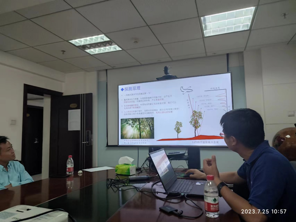
On July 25, 2023, Associate Professor Zhe Li from Inner Mongolia University visited at Professor Hongyi Li’s invitation. He presented two projects: 2D and 3D digitization of the Yanshan inscription, and LiDAR investigation of the Shenshan archaeological site, highlighting current issues in remote sensing archaeology and discussing its prospects and challenges.
2D and 3D digitization of the Yanshan inscription
The inscription is the Inscription Commemorating the Victory at Mount Yanran, composed by Ban Gu during the Eastern Han dynasty after Dou Xian defeated the Northern Xiongnu and had the victory recorded in stone on Mount Yanran. It was discovered by a joint Chinese–Mongolian expedition in Dundgovi Province, Mongolia. Zhe Li used low-altitude remote sensing and close-range photography to reconstruct the surrounding environment in detail. Using rubbings as a basis, he also created and archived 2D and 3D digital reconstructions of the inscription itself. The digital products are easier to preserve and more legible than rubbings. The project combines art and technology, brings history together with modern science, and uses modern techniques to explore the past.
LiDAR investigation of the Shenshan archaeological site
The Shenshan site lies in the Greater Khingan Range, the ancestral homeland of many historical peoples of northern China. Because of the concealing landscape, its extent, composition, spatial layout, and terrain had not been systematically understood. Zhe Li’s team used photogrammetry to analyze the site’s landforms and compare them with LiDAR data, then used laser scanning to detect structures beneath the forest canopy. They combined texture information from high-resolution orthophotos, structural information from LiDAR point clouds, and a digital elevation model to detect the forest-covered site. Field investigations then supported a detailed interpretation. This in-depth exploration of Shenshan helped fill gaps in the historical record.