
Hongyi Li Presents at the First International Conference on Remote Sensing and Geoinformation
The first International Conference on Remote Sensing and Geoinformation (RESG2026) was held in Beijing on October 15–18, 2026. Professor Hongyi Li of the Northwest Institute of Eco-Environment and Resources, Chinese Academy of Sciences, attended the conference and delivered a presentation.
Jointly organized by the State Key Laboratory of Remote Sensing and Digital Earth, Elsevier, and Fujian Normal University, the conference focused on next-generation remote sensing methods and geoinformation for the sustainability of human society. Participants discussed advances in remote sensing and its applications to global change and sustainable development.
Professor Li presented “Assessing snow contributions to water resources in cold and arid mountain regions using remote sensing and cryosphere-hydrological modeling.” Yaru Yang, Xiaohua Hao, and Liting Niu were also named as authors of the presentation.
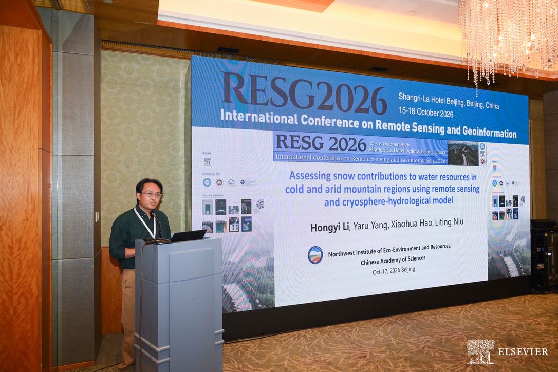
The presentation addressed challenges in observing and modeling snow water resources in cold and arid mountains. It introduced research on multi-source precipitation data fusion, long-term remote sensing of snow cover, and hydrological modeling that traces snowmelt pathways. Field sampling and analysis of stable hydrogen and oxygen isotopes were used to examine how snowmelt moves through a basin and contributes to runoff.
Using the Changma, Heihe, and Xiying River basins as examples, the presentation examined changes in snow and snowmelt contributions to runoff under a changing climate. The work supports further study of snow and ice hydrology and water resources in cold and arid mountain regions.