
He Rui Receives Top Student Presentation Award at the 2026 Gansu Remote Sensing Society Annual Meeting
The 2026 Gansu Remote Sensing Society annual meeting and council meeting took place in Dunhuang, Gansu, from September 11 to 13, 2026. Under the theme “Showcasing Gansu’s Remote Sensing Achievements and Deepening Integration of Industry, Academia, Research, and Application,” the meeting brought together researchers and early-career scientists from within and beyond the province to discuss recent advances in remote sensing theory, key technologies, and applications. Topics included high-resolution remote sensing, intelligent interpretation of remote sensing big data, spatiotemporal foundation models, natural resource monitoring, and disaster prevention and mitigation.
He Rui, a PhD student who joined the group in 2025, delivered an oral presentation titled “Fine-Scale Mapping of Surface Elevation Change in High Mountain Asia Using ICESat-2: Slope-Constrained Photon Denoising and Distance-Constrained Pairing.” Focusing on the use of ICESat-2 laser altimetry to monitor surface elevation change in High Mountain Asia, the presentation introduced methods for slope-constrained photon denoising and distance-constrained pairing of points from crossing and repeat tracks. It highlighted the group’s progress in processing satellite laser altimetry data and mapping surface elevation change in fine detail.
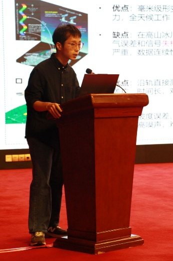
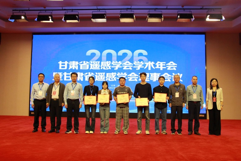
Following evaluation by the organizing committee, He Rui’s presentation received the top student presentation award. The award reflects the group’s research in cryosphere remote sensing, satellite laser altimetry, and surface elevation change monitoring, and the meeting strengthened academic exchange with remote sensing researchers from within and beyond Gansu.
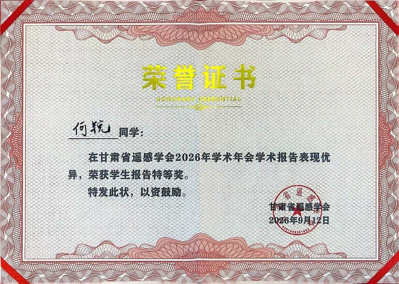
Congratulations to He Rui! The group will continue its research on ICESat-2 data processing, mapping surface elevation change in High Mountain Asia, and related remote sensing applications. We look forward to seeing more students share their work, develop their skills, and make progress through academic exchange.