January 2021 Winter River Ice Thickness Field Campaign
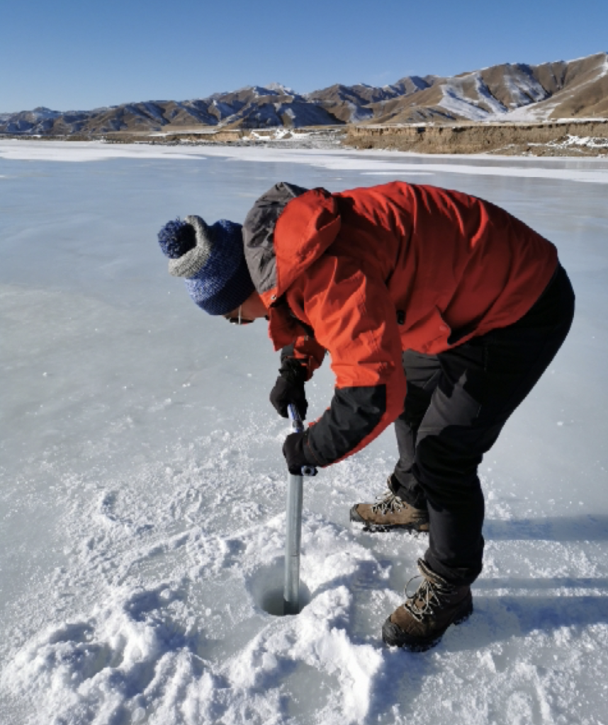
On January 10, 2021, the research group conducted routine field observations of river-ice thickness in the Babao River basin in Qilian, Qinghai. The main objectives were to measure ice thickness and use GPS RTK to measure the elevation of the ice surface, providing data for retrieving river-ice thickness by combining field and remote sensing observations.
The campaign consisted of three main components. First, RTK was used to measure ice surface elevations along cross sections. Second, holes were made with ice chisels at the RTK measurement points, and frozen thickness was measured using a tape. Third, the elevation of the ice underside was measured at selected holes. The campaign was organized around riverbed elevation observations collected in November 2020. At locations where weak mobile signals and large positioning errors made it difficult to revisit the original measurement points, riverbed elevations were measured again to keep the distance error between repeated observations below 1 m.
The team collected 211 ice surface elevations, 102 ice-bottom elevations, and 151 ice thickness measurements. There were 14 cross sections along the main Babao River channel and 24 in Binggou. After preprocessing, the data achieved centimeter-level accuracy. Photographs documented ice conditions at each cross section.
Conditions were cold, with minimum temperatures reaching −25°C, making work on the ice difficult. The team overcame the severe cold and other obstacles to complete the field campaign successfully.